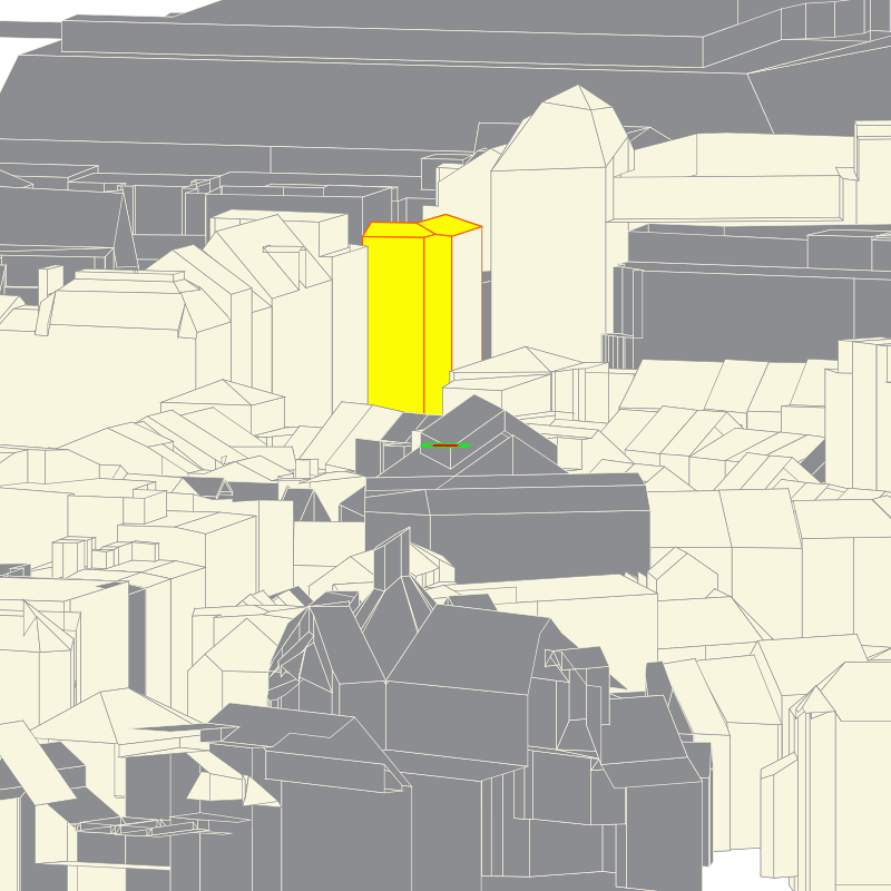
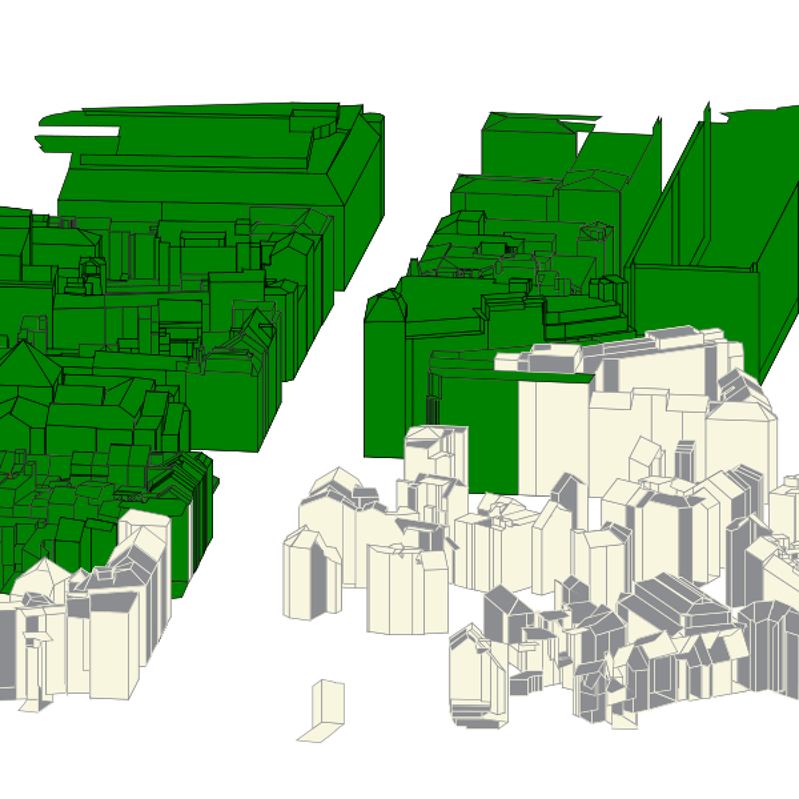
And it does!
With the same style format as built for spatial-e/sdi/whatever
”`
{
”kind”: “continuous”,
”propName”: “gid”,
”intervals”: [
{
”low”: 0,
”high”: 1754158,
”strokeColor”: “#8b8d91”,
”fillColor”: “#f9f6e0”,
”strokeWidth”: 0.6
},
{
”low”: 1754158,
”high”: 1754172,
”strokeColor”: “#fc5f05”,
”fillColor”: “#fcfc05”,
”strokeWidth”: 1.2
},
{
”low”: 1754172,
”high”: 99999999,
”strokeColor”: “#f9f6e0”,
”fillColor”: “#8b8d91”,
”strokeWidth”: 0.6
}
]
}
”`
We end up with a speculation of 3d cartography.

